Project Name
Reindeer Station Stability Assessment
Start Date
April 1, 2020
End Date
March 31, 2023
ARI Team
Overview
Climate driven changes are affecting the landscape and the way of life of the people of the Inuvialuit Settlement Region (ISR). As stewards of the land the Inuvialuit are in the best position to develop and implement effective and suitable climate change adaptation measures for the ISR.
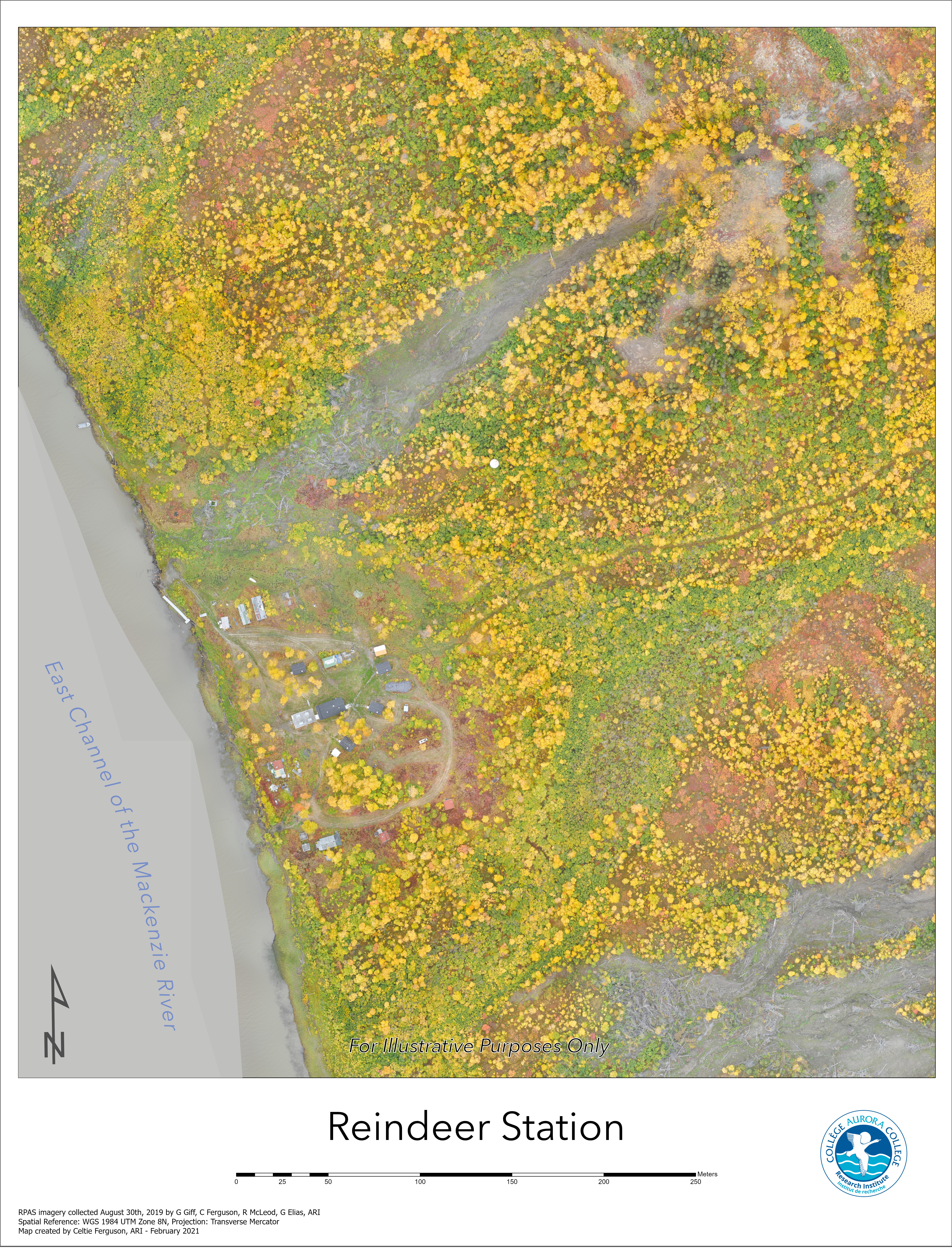
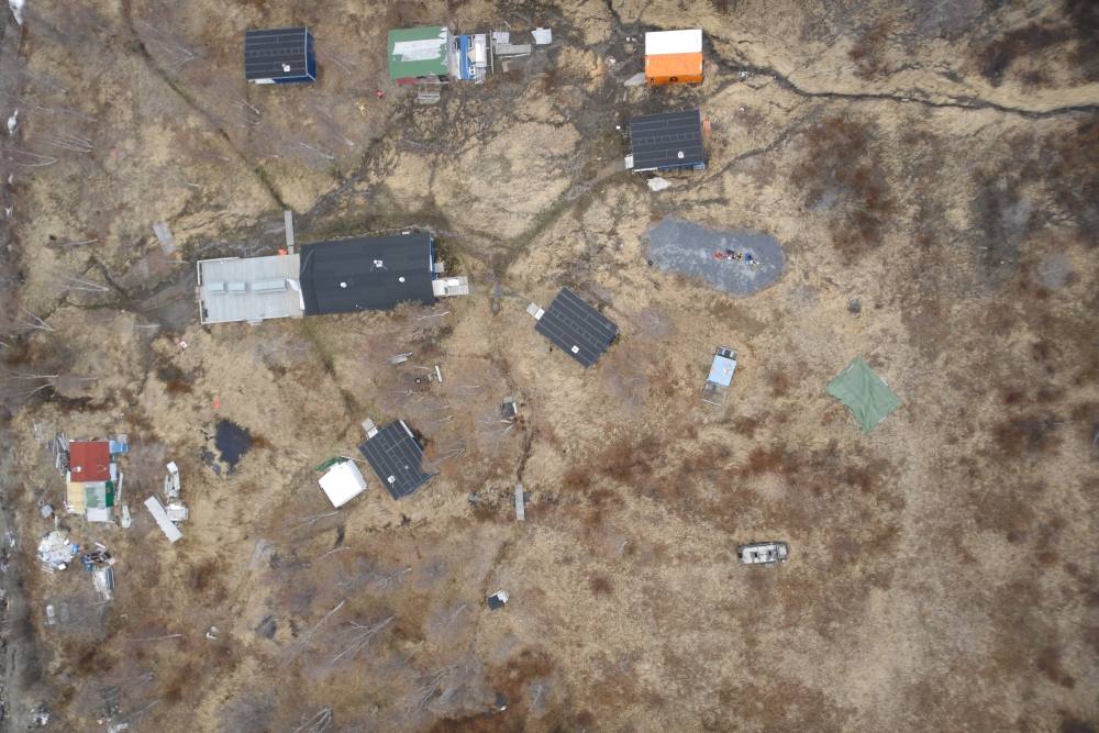
Aurora Research Institute is supporting The Inuvik Community Corporation (ICC) in assessing and monitoring the effects of climate driven changes on Reindeer Station. The project will focus on monitoring permafrost thaw within the vicinity of Reindeer Station, as well as monitoring the drainage patterns in and around the Station. The results of the monitoring and assessment will be used to develop mitigation strategies to preserve Reindeer Station as an Inuvialuit Wellness Camp.
Objectives
The main aim of the project is to collect vital information to support the development of long-term climate change adaptation strategies to protect the infrastructure at Reindeer Station, as well as, implement short-term activities that will protect the cabins and users of the facilities against changes in the drainage pattern due to earth movement. Aurora Research Institute will support the ICC with the following:
- Capacity Building in permafrost and spatial data collecting;
- Initial collection of mapping and monitoring data;
- Data analysis;
- Data management; and
- Project Management
Location
The project activities will be carried out at and within the vicinity of Reindeer Station. Reindeer Station is located along the East Channel of the Mackenzie River between Inuvik to the south and Tuktoyaktuk to the north. A NWT historic landmark and an Inuvialuit wellness and cultural camp the approximate coordinates of Reindeer Station are Latitude 68.69° and Longitude -134.14°.


Methods
To project team will employ the following methodology to achieve the project’s goals and pursue the objectives:
- Stakeholder Consultation;
- Project management;
- Capacity building;
- Literature and Data Review;
- Permafrost Monitoring;
- RPAS Mapping of the Drainage Pattern and Earth Movement;
- Infrastructure Monitoring;
- On-the-job training;
- GIS analysis;
- Permafrost Data Analysis;
- Simulation Modeling
- Data Management
The results of the project will be communicated and disseminated using the following:
- Scientific publications;
- Plain language reports;
- Maps and charts;
- StoryMaps;
- Workshops;
- Oral and poster presentations; and
- Through the IRC’s Portal.
Schedule
| Q1 | Q2 | Q3 | Q4 |
| Year 2020 - 2021 | |||
|
|||
| Year 2021 - 2022 | |||
|
|
|
|
| Year 2022 - 2023 | |||
|
|
|
|
External Partners
Kevin Floyd, Project manager, Inuvik Community Corporation
Alice Wilson, Northwest Territories Geological Survey
Climate Change Preparedness in the North Program
Keywords
Stability Assessment; Mapping and Monitoring, Permafrost Thawing; RPAS Surveys; Climate Change Mitigation; GIS; Drainage Patterns; Landslides; Slumping; Earth Movement; Heritage Preservation.
Updated May 2021
