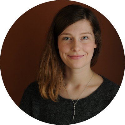
Celtie Ferguson, BA, PGC
I was born in Yellowknife, although my family moved to Ottawa before I had a chance to experience the north, I had the desire to return as long as I can remember. My joy is found in wilderness spaces: I have been lucky enough to have had the opportunity to travel to Antarctica and have spent a month winter rafting in the Grand Canyon. A large portion of my work experience has been in remote or outdoor settings: at a camp on an island in Lake Huron, in the Columbia River Valley in British Columbia, and in Muskoka in Ontario. The skills these occupations have awarded me are diverse. I am a zip-line mechanic (in-training) and can captain small vessels!
At university I studied both Geography and Classics to support an interest in archeology. As an Archaeological Field Technician in Ontario I carried out archaeological surveys and excavations, delving into recording and preserving early European settlement and Aboriginal heritage. My post-graduate studies have furthered my interest in GIS and their relationship to environmental and resource management. I have a genuine interest in the Canadian North, and a GIS Technician, I am excited to gain more experience in cross-cultural processes and learn more about northern cultures and peoples.
Skills and expertise
I am skilled in georeferencing, digitizing, and spatial and statistical analysis. More specifically I am trained in ESRI ArcMap, PCI Geomatics, programming in Python with IDLE, as well as with open source and web-based applications. I work with both raster and vector data types, and have experience processing raw satellite imagery, aerial and UAV photography, and historical maps as sources of data and data collection. Additionally, I have worked with digital elevation models and interpolating surfaces, using statistical analysis to create predictive models. In creating map documents I pay mind to the principles of design and use of cartographic conventions.
List of current projects
- Mineral Strategies GIS – Developing a Geographic Information System (GIS) to support the development and implementation of mineral strategies in the Western Arctic.
- Community outreach and education on GIS through classroom visits in Inuvik and Ulukhaktok, hosting an event showcasing local occupations and applications of GIS and participation in the organization of other local 2018 GIS Day activities.

