
Main Project Contact:
Garfield Giff
Project Start Date:
2019
Project End Date:
On-going
Project Name:
A GIS to Support Community Monitoring of the Effects of Climate Change in Tuktoyaktuk
ARI Team:
Celtie Ferguson
Garfield Giff
Overview:
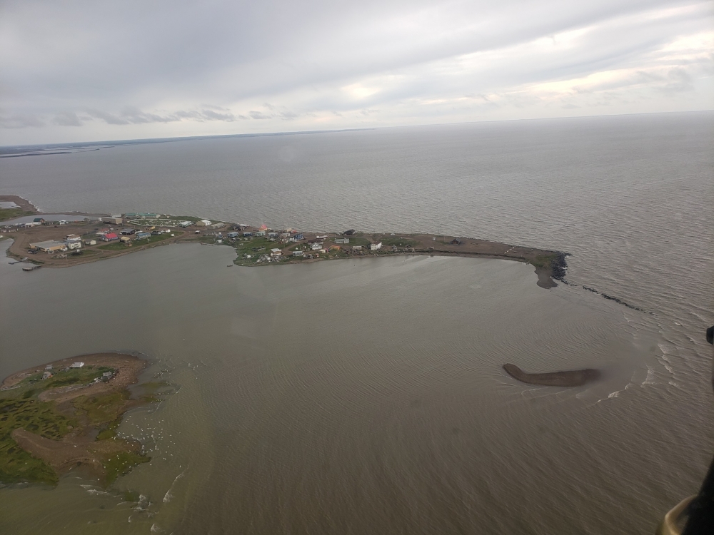
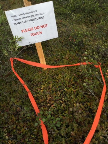
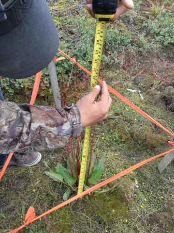
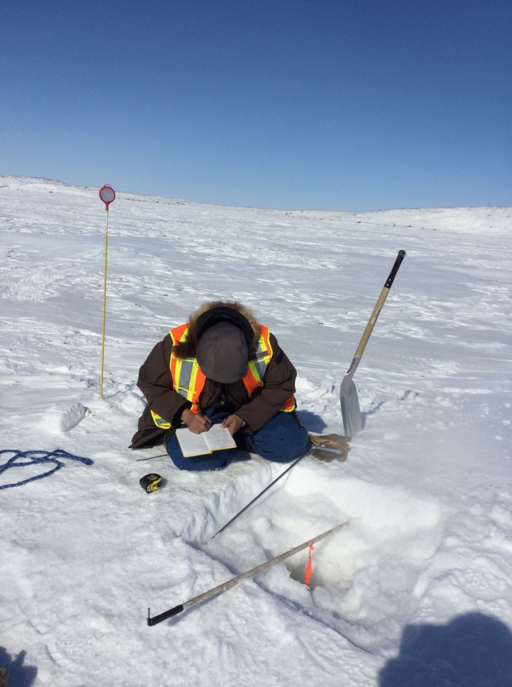
The effects of climate-driven changes on the Hamlet of Tuktoyaktuk are evident in all aspects of the community’s life. To better understand these effects and to communicate it to the residents, the Tuktoyaktuk Community Corporation (TCC) decided to undertake the “Tuktoyaktuk Community Climate Resilience Project.” The aim of the project is to increase the awareness and knowledge of Tuktoyaktuk residents on the effects of climate-driven changes on their community. This will be achieved through the use of scientific methodologies, as well as the knowledge and wisdom of community Elders. Measuring and monitoring of the effects of climate change will be done by the community.
Aurora Research Institute (ARI) will support the TCC Resilience Project through capacity building and GIS services. ARI will assist the TCC in growing the community’s capacity to measure and monitor the effects of climate-driven changes, as well as develop GIS tools and services to efficiently collect, manage and disseminate the information.
Objectives:
The aim of the project is to assist the Hamlet of Tuktoyaktuk in developing their capacity to using geospatial tools and services to support the collection, management, and dissemination of climate change related data. To achieve this goal the following objectives will be pursued:
- Grow awareness of geospatial tools and services in the Hamlet of Tuktoyaktuk;
- Build capacity on geospatial tools;
- Grow the use of geospatial tools and services in measuring and monitoring the effects of climate change in the Hamlet of Tuktoyaktuk; and
- Support the Hamlet of Tuktoyaktuk in the collection, management and dissemination of climate change related information.
Location:
The project will be carried out within the Hamlet of Tuktoyaktuk. Key focus areas are:
- 69.464189 -133.051985
- 69.452513 -132.954412
- 69.382699 -133.006441
- 69.391822 -133.099662
Methods:
The project will utilize the following methodologies:
- Project Management
- GIS architecture and implementation;
- Data collection using:
- ArcGIS Survey 123;
- Remotely Piloted Aircraft Systems; and
- GPS Methodology
- Spatial analysis using ArcMap;
- Tutorial and Hands-on training in data collection and dissemination;
- Tutorial and Hands-on training in GIS;
- Tutorial and Hands-on training in StoryMap creation; and
- Data dissemination using ArcGIS online
Schedule:
| Q1 | Q2 | Q3 | Q4 |
| Year 2018 - 2019 | |||
|
|
|
|
|
| Year 2019 - 2020 | |||
|
|
|
|
| Year 2020 - 2021 | |||
|
|
|
|
External Partners:
Kendyce Cockney, Tuktoyaktuk Community Corporation
Inuvialuit Regional Corporation
ESRI Canada
updated May 2021