Research Projects - Geographic Information Systems
Read more about ARI's geographic information systems projects
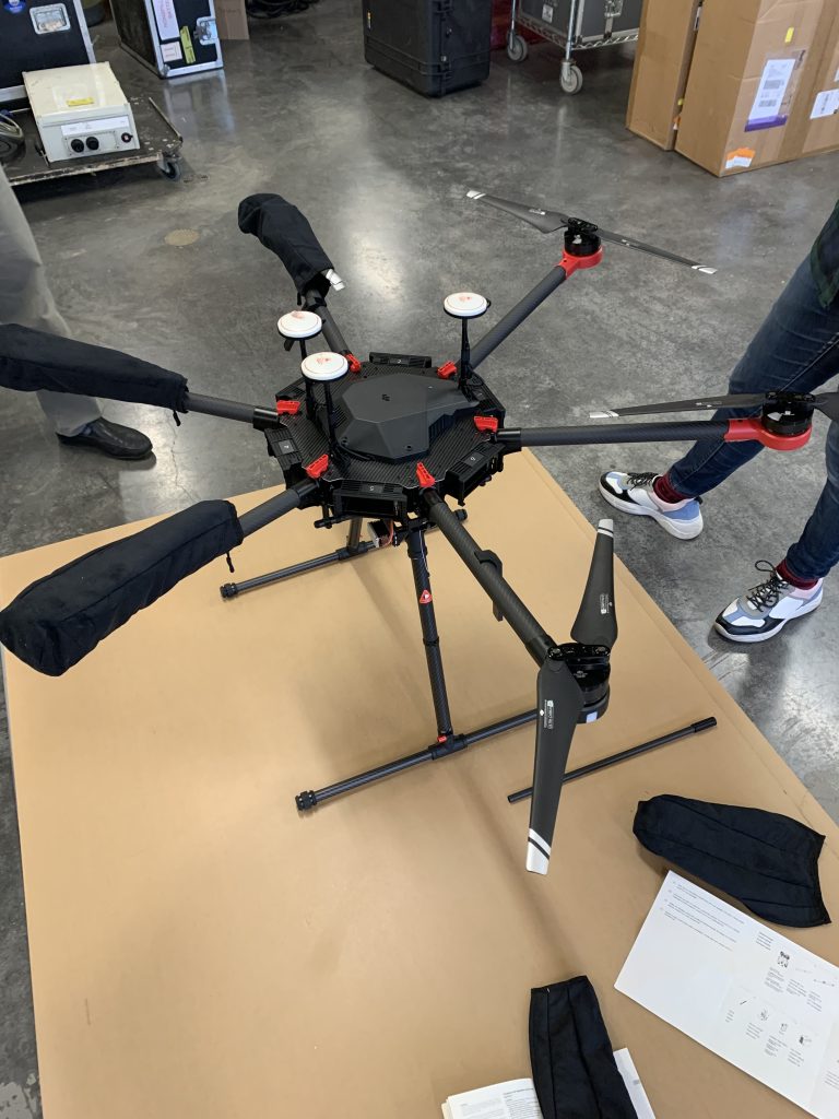
Application of RPAS LiDAR Systems to Mapping and Monitoring in the Western Arctic
The aim of the project is to determine whether or not RPAS LiDAR systems are cost effective and efficient tools for mapping and monitoring the effects of climate driven changes in the Western Arctic.
Read More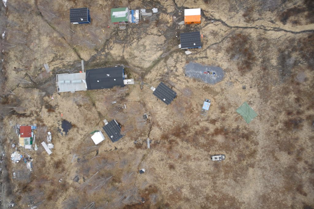
Reindeer Station Stability Assessment
Climate driven changes are affecting the landscape and the way of life of the people of the Inuvialuit Settlement Region (ISR). Therefore, it is important that Inuvialuit People acquire the tools and capacity to mitigate against these changes so that...
Read More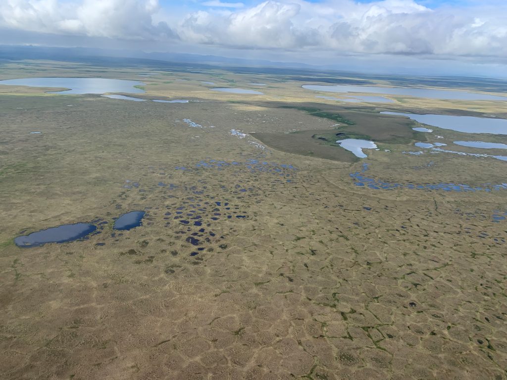
Thermokarst Mapping of the Beaufort Delta Region
This project is a part of a larger initiative which aim at developing a NWT wide, empirically-based map products describing the sensitivity of permafrost terrain. The goal of the project is to support the NWT wide initiative through the development...
Read More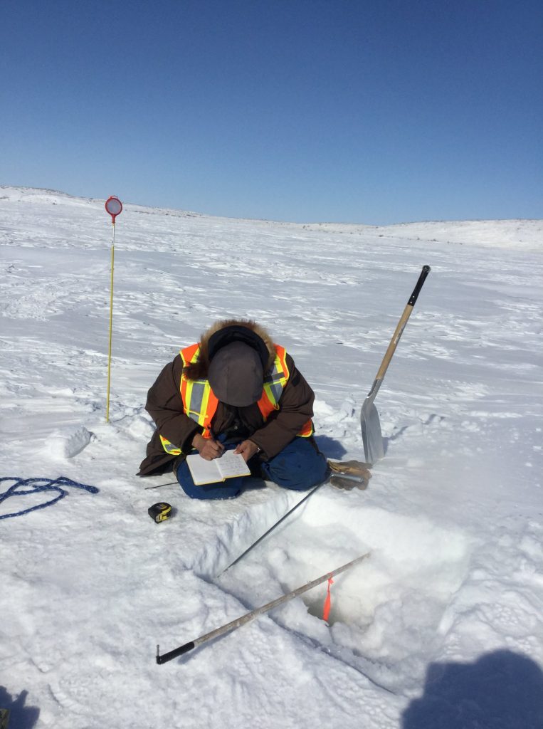
A GIS to Support Community Monitoring of the Effects of Climate Change in Tuktoyaktuk
https://www.esri.ca/en-ca/homeThe effects of climate-driven changes on the Hamlet of Tuktoyaktuk are evident in all aspects of the community’s life. To better understand these effects and to communicate it to the residents, the Tuktoyaktuk Community Corporation (TCC) decided to undertake the...
Read More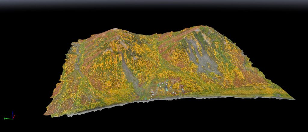
Mapping and Monitoring Earth Movement Along the Caribou Hills, Inuvik, NWT
Climate driven changes are affecting the landscape and the way of life of the people of the Northwest Territories (NWT). The effects of climate driven changes on the landscape of the NWT are visible along the coastlines, inland to the...
Read More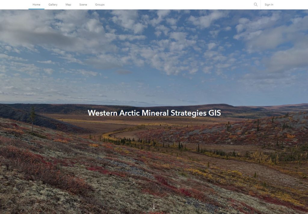
Western Artic Minerals Strategies GIS
ARI has developed a GIS to support the management of mineral strategies across the Western Arctic. A GIS of this nature will provide stakeholders with geospatial tools, as well as geoscience and geospatial information to better inform their decision-making with...
Read More