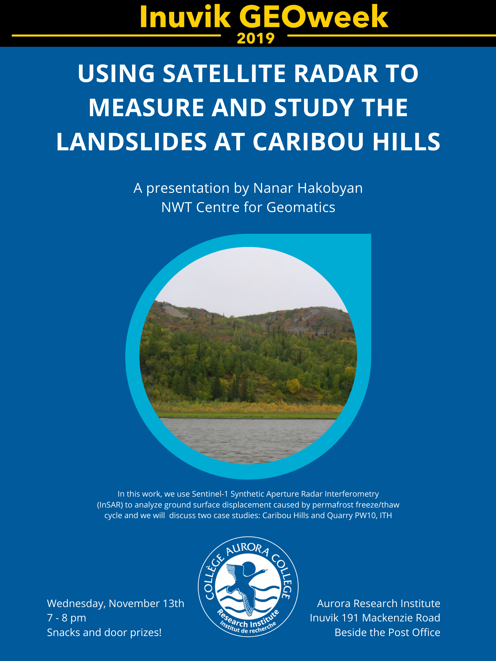
On Wednesday, November 13th the Aurora Research Institute will host a presentation by Nanar Hakobyan of the NWT Centre for Geomatics. Nanar's talk 'Using Satellite Radar to Measure and Study the Landslides at Caribou Hills,' discusses how the NWT Centre for Geomatics uses Sentinel-1 Synthetic Aperture Radar Interferometry (InSAR) to analyze ground surface displacement caused by permafrost freeze/thaw cycle by focusing on two case studies at Caribou Hills and Quarry PW10, ITH. Everyone is welcome and ARI looks forward to seeing community members come out to celebrate GEO week. As always, there will be snacks and prizes.