Main Project Contact:
Project Start Date:
May 2019
Project End Date:
Ongoing
Project Name:
Permafrost Information Hub
ARI Team:
Past Team Members:
Kathryn Barr
Overview:
Permafrost provides a foundation for northern ecosystems, infrastructure and communities. Permafrost conditions are inextricably linked to climate, so information on permafrost is now increasingly critical for environmental monitoring and research, assessing effects of climate change and for planning and managing resilient infrastructure and communities. The overall goal of the Permafrost Information Hub is to improve collaboration and information sharing between permafrost researchers and northern stakeholders, conduct northern relevant research projects, and increase capacity for permafrost research.
Location:
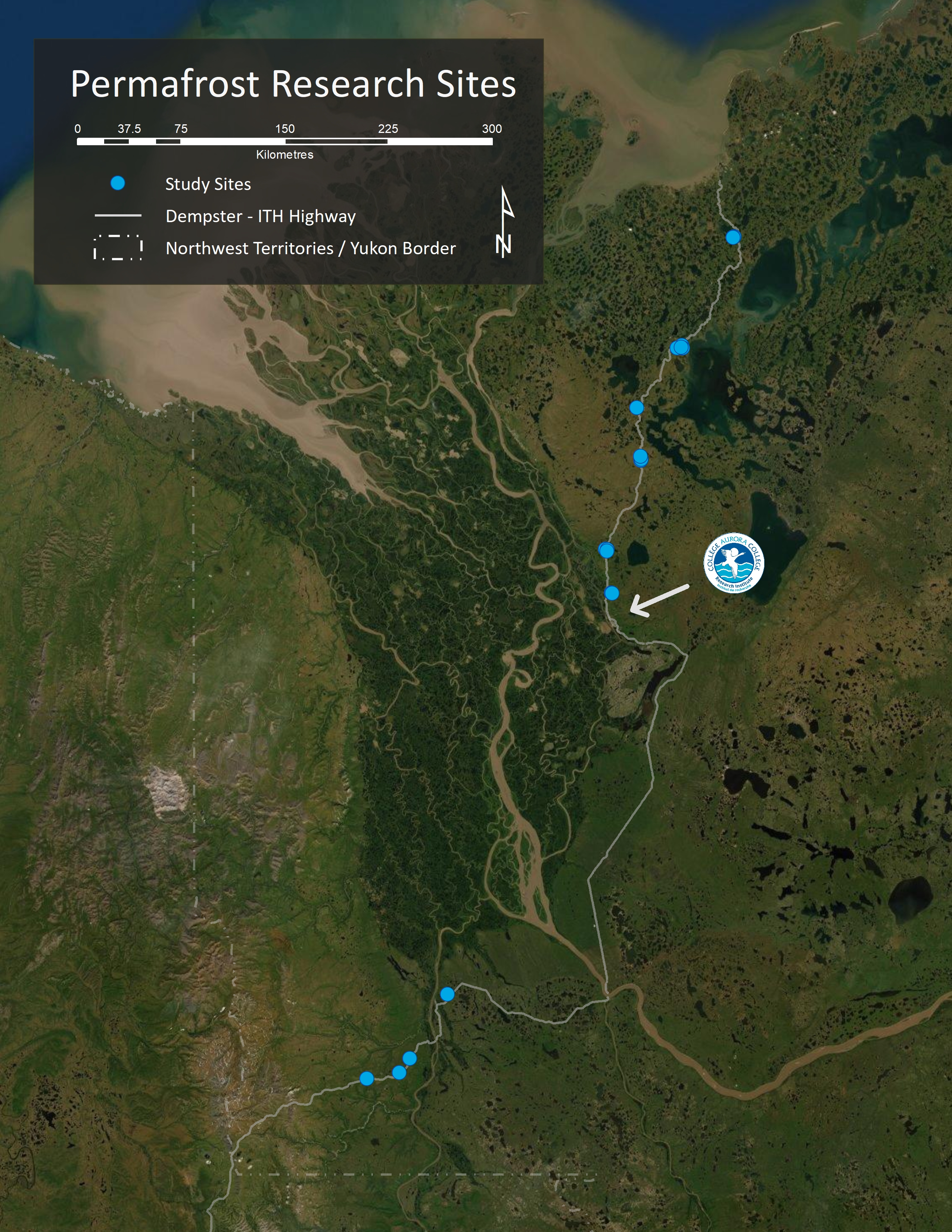
The permafrost data consolidation is along Dempster- Inuvik Tuktoyaktuk Highway (ITH) corridor. Field work and research sites are located near the Dempster and ITH from the border to Tuktoyaktuk. Snow manipulation locations are paired with established permafrost monitoring sites located along the ITH. Currently working toward establishing monitoring sites with communities.
Methods:
-
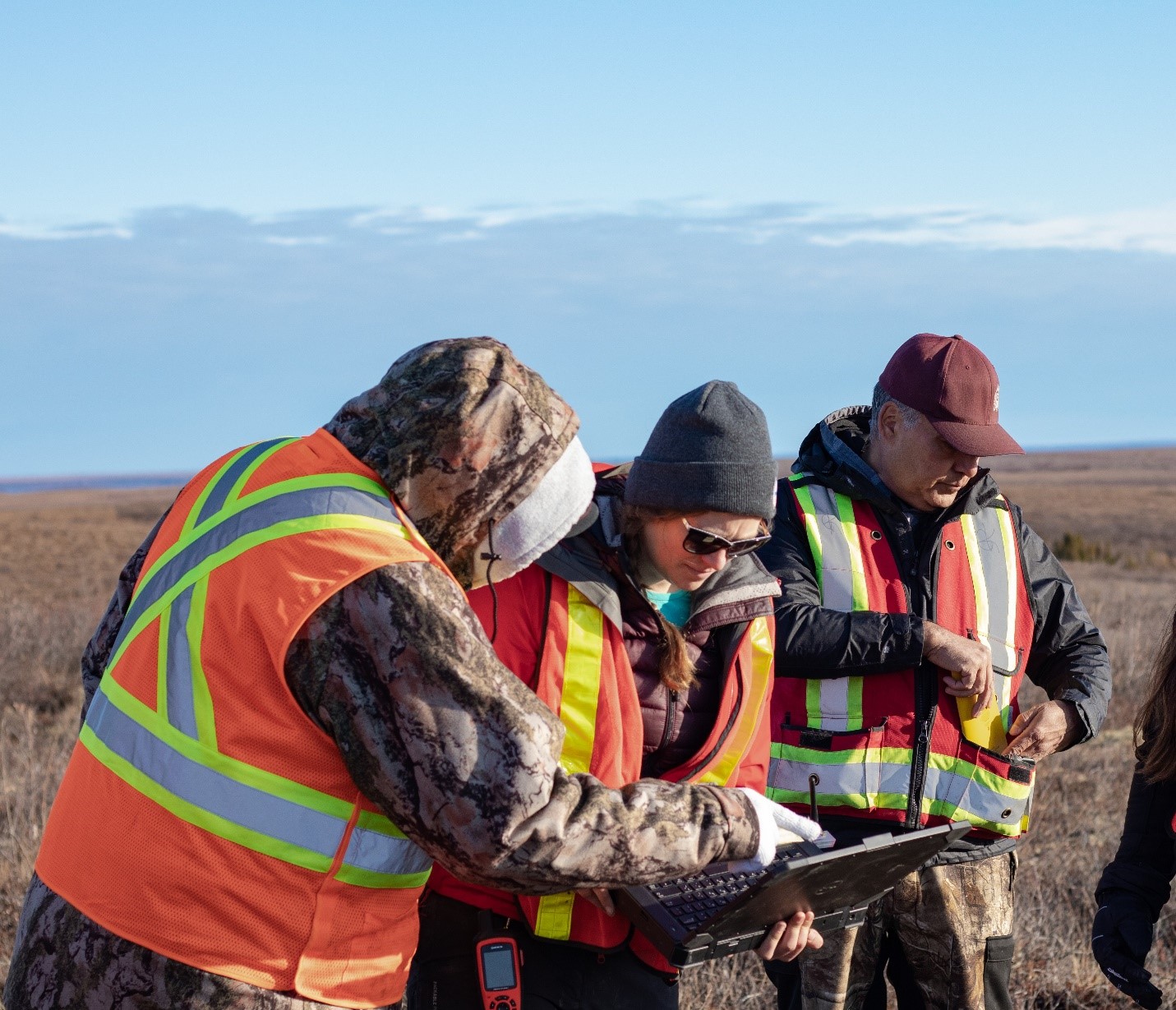
To improve collaboration, knowledge transfer and communication we are working with local organizations to increase community-based permafrost research and monitoring. This includes working with the Inuvialuit Land Administration (ILA) environmental monitors in the creation of standard monitoring protocols and establishing sites near communities to be maintained by local community members. We continue conduct community presentations and discussions throughout the Mackenzie Delta region on ongoing projects.
-
To create a permafrost information hub we will create a set of long-term permafrost monitoring sites along the Dempster- ITH corridor that will be maintained and downloaded yearly. In collaboration with the Northwest Territories Geological Survey a standardized ground temperature reporting template was created and is being tested at current sites. Dempster-ITH ground temperature data sets will be compiled for input into the standardized ground temperature database. We are also working with local organizations in creating a observational permafrost template for collaborative monitoring between industry, government, and communities.
-
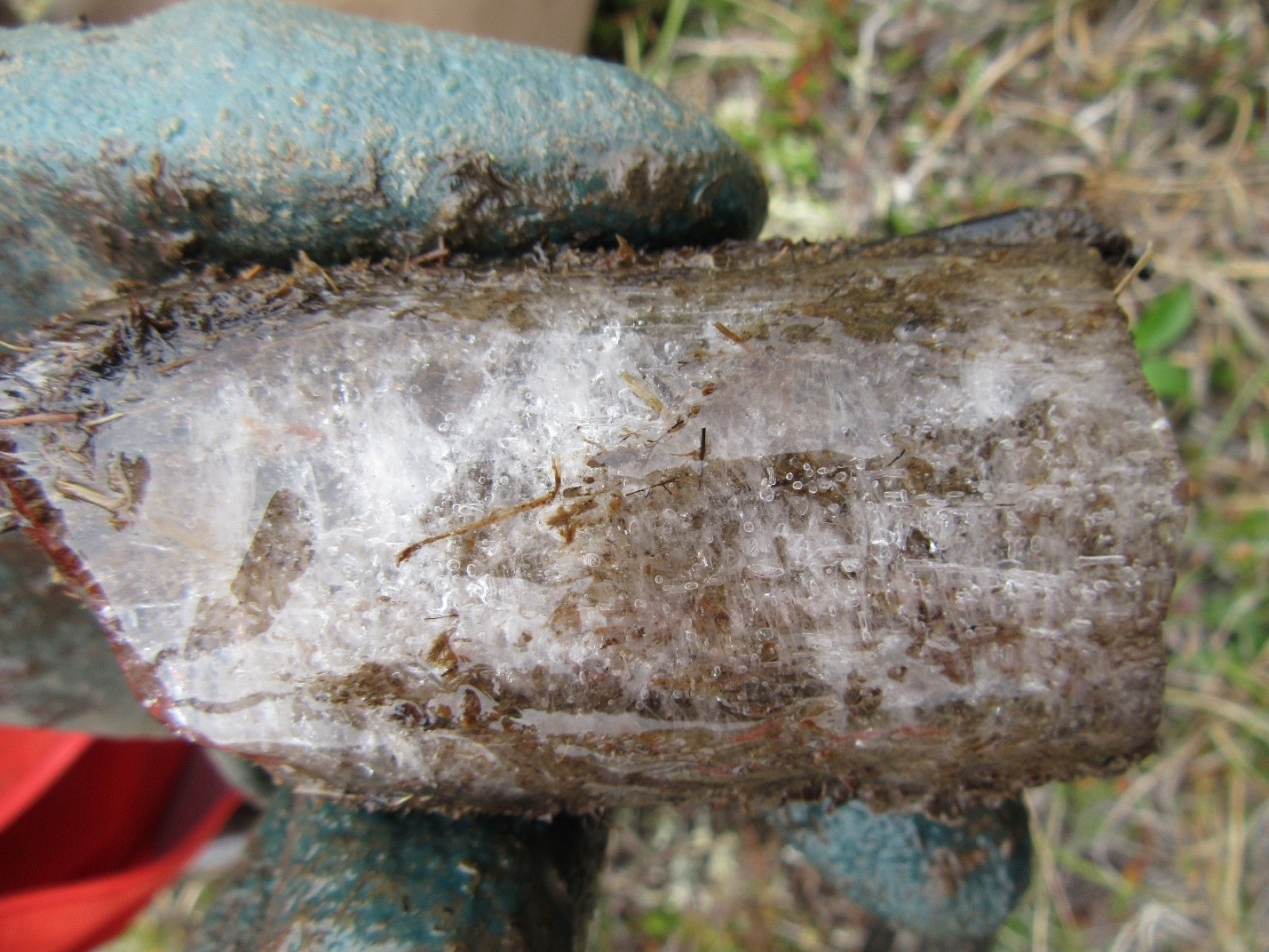
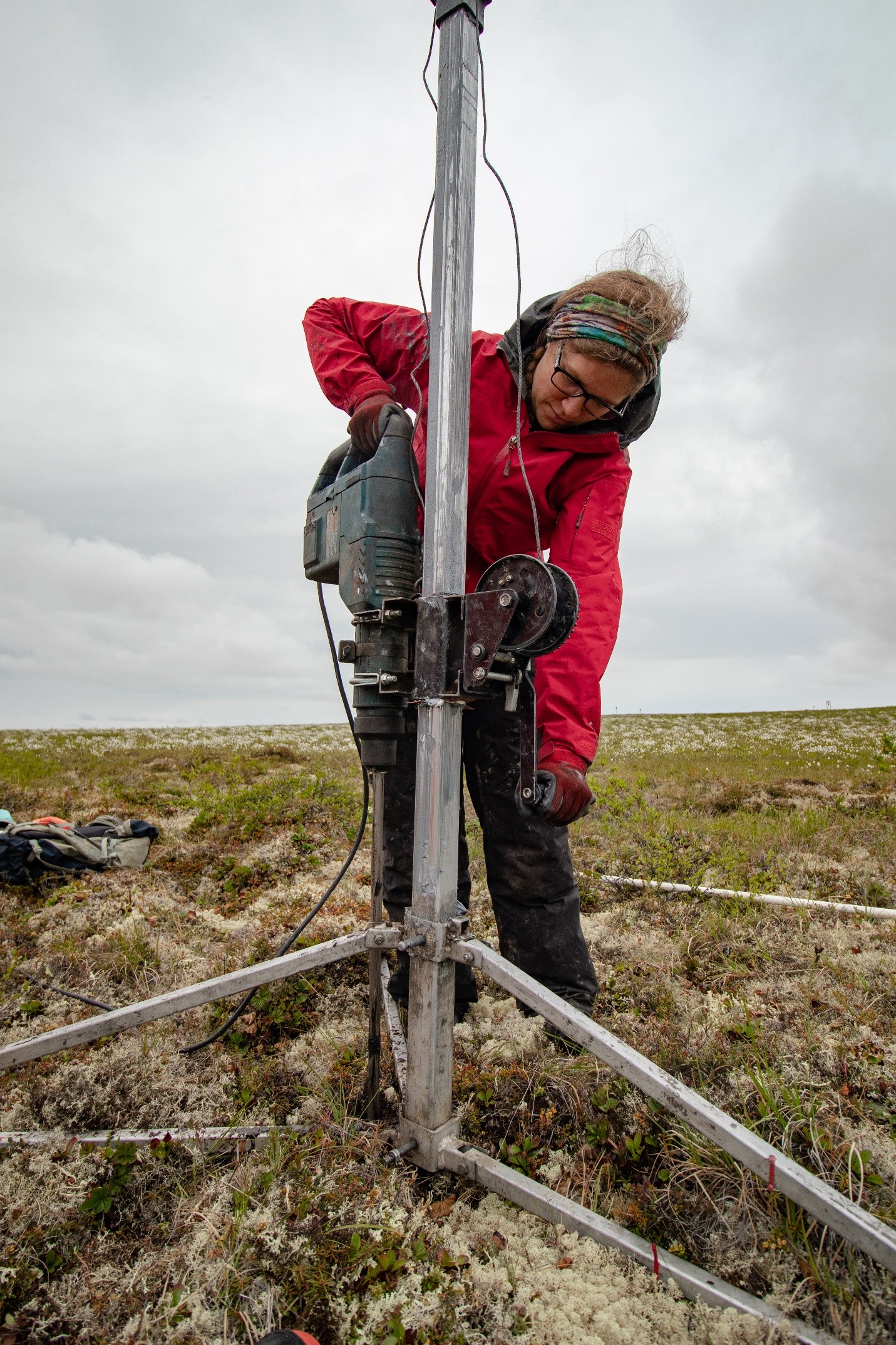
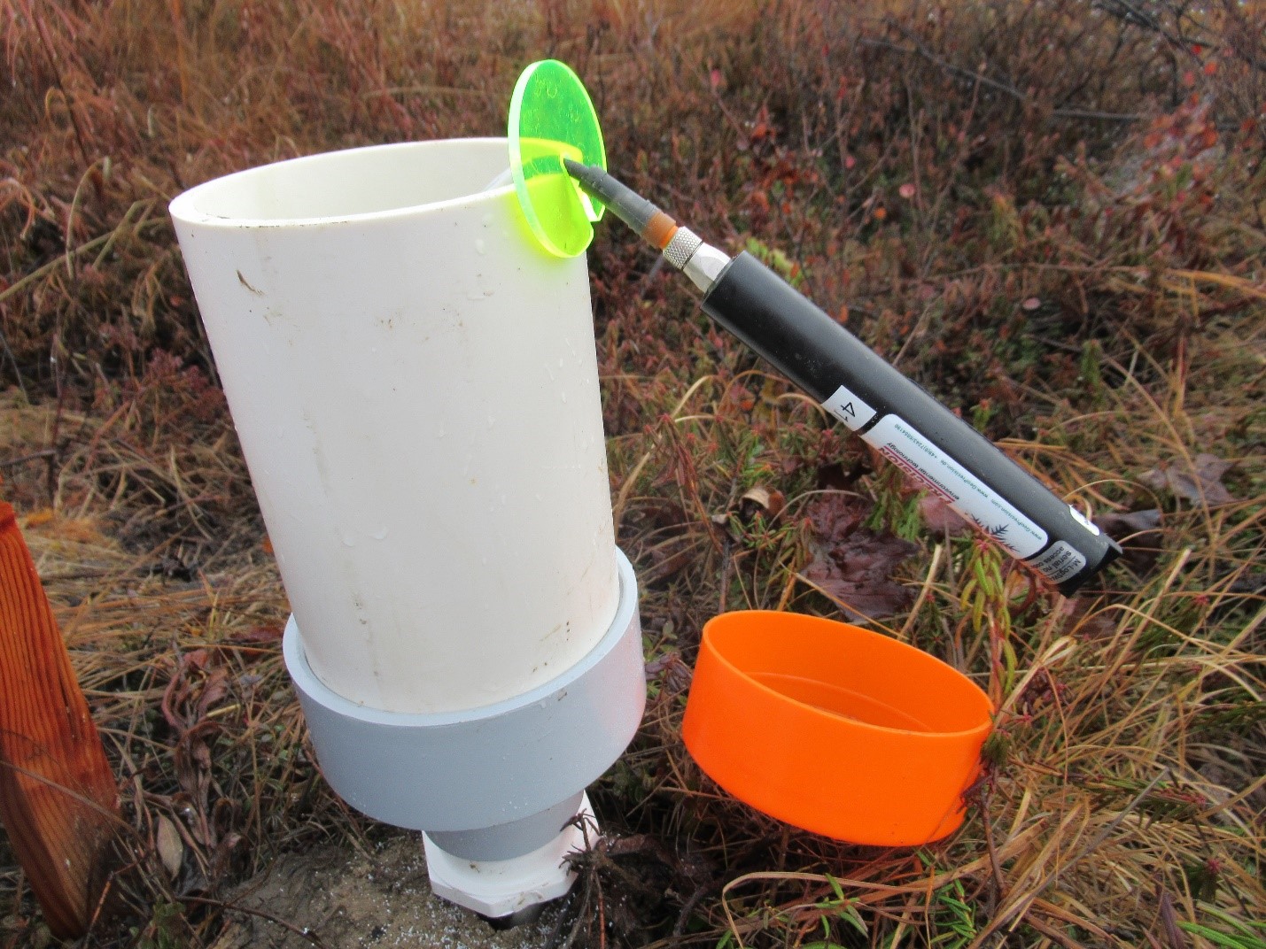
To design and test new tools for monitoring and mitigating we are testing out and providing feedback on different drilling systems, working with various ground temperature sensors, and exploring the use of UAV surveys. We are supplying in-kind service to support community-driven research at the Igloo Church to better mitigate and adapt to permafrost degradation.
-
To determine whether manipulating can preserve permafrost we have established 6 snow manipulation sites along the ITH. These locations are paired with established permafrost monitoring sites and have been instrumented with ground temperature sensors. Working with local industry snow compactions have now been completed for two winters.
Schedule:
-
A permafrost monitoring workshop was held with ILA environmental monitors from Inuvik, Tuktoyaktuk, and Aklavik in September 2019 and a workshop with monitors from all of the ISR communities was held in January 2020 and March 2021 to discuss how to increase permafrost monitoring capacity. Presentations to the local hunter and trapper committees and renewable resource boards will be done yearly.
-
A new drilling system was purchased in the summer of 2019 and used to install ground sensors and will be tested for permafrost core extraction in summer 2021. Two forms of ground temperature loggers were installed in August and September 2019 and will be downloaded every year. Temperature loggers were installed in the Igloo church in August 2019 and will be downloaded every few months. Drilling was conducted under the church and temperature loggers installed in May 2021. The church basement will continue be surveyed monthly to investigate heave and/or subsidence of the permafrost.
-
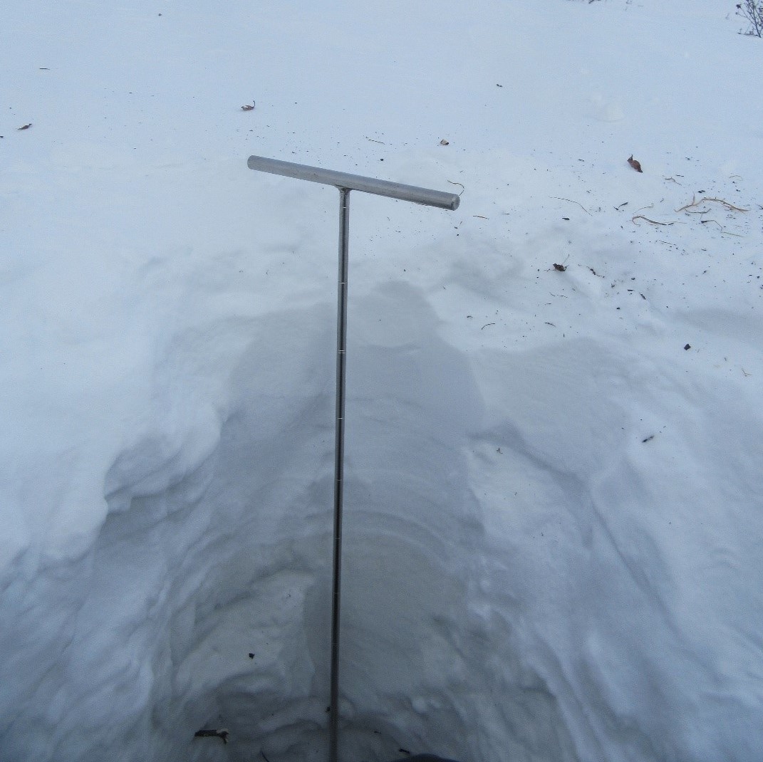
Ground temperature sensors were installed in the summer of 2019 at the snow manipulation sites. Vegetation surveys of the sites were done in August 2019 and will be repeated each year. Snow compactions were conducted in the winters of 2019/2020 and 2020/2021.
-
The Thermokarst Mapping Project will continue mapping and will create products for communities in the Western Arctic. Unmanned Aerial Vehicle flights will be conducted in summers to provide additional data on different thermokarst features.
External Partners:
Alice Wilson, Northwest Territories Geological Survey
Steve Kokelj, Northwest Territories Geological Survey, Aurora College Research Associate
Ashley Rudy, Northwest Territories Geological Survey
Tim Ensom, Wilfrid Laurier University
Chris Burn, Carleton University, Aurora College Research Associate
Emma Stockton, Carleton University
Charles Klengenberg and Environmental Monitors, Inuvilauit Land Administration
Media:
Scientists unlocking secrets of permafrost along ITH - INUVIK DRUM
Keywords:
Permafrost, Permafrost mapping, Permafrost thaw, Permafrost Degradation, Thermokarst, Monitoring, Environmental monitoring, Ground temperature, Periglacial processes, UAV
Support:
We acknowledge the support of the Natural Sciences and Engineering Research Council of Canada (NSERC)
![]()
Updated May 2021