Project Name
Application of RPAS LiDAR Systems to Mapping and Monitoring the Effects of Climate Driven Changes on Western Arctic Communities
Main Project Contact
Project Start Date
March 2019
Project End Date
Ongoing
ARI Team
Overview
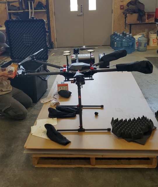
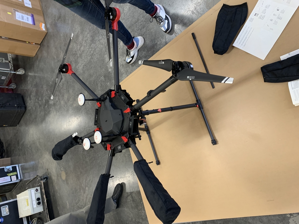
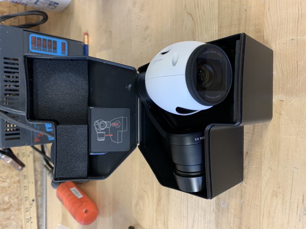
Climate driven changes are greatly affecting the Western Arctic environment, thus, the need for Western Arctic communities to develop and implement strategies to slow down and mitigate against the effects of climate change. Developing these strategies require accurate, timely and affordable information. One tool for collecting this type of information is the Remotely Piloted Aircraft Systems (RPAS) Light Imagining, Detection, and Ranging (LiDAR) System. A RPAS LiDAR System is a geomatics tool that can be used to produce high-resolution 3-D maps of urban and remote areas, as well as, collect data for snow depth, ice thickness, ice road maintenance, vegetation analysis, water quality monitoring, earth movement, archeology sites survey, gas detection, and floodplain monitoring to name a few.
ARI will perform applied research with the RPAS LiDAR System to determine whether or not it is a cost effective, efficient, and effective system for collecting Western Arctic climate change data.
Objectives
The aim of the project is to determine whether or not RPAS LiDAR systems are cost effective and efficient tools for mapping and monitoring the effects of climate driven changes in the Western Arctic. The aim will be achieved through the pursuant of the following objectives:
- The measuring, mapping and monitoring of the following using RPAS LiDAR system
- Earth movements (e.g., slumps and landslides);
- Snow depth;
- Ice thickness, break-up and freeze-up
- Vegetation change
- Ice roads
- All seasons roads
- Airport runways
- Topographic Surveying
- Surveying of historical and archeological sites
- Methane detection
Location
The project will take place throughout Northwest Territories. However, the Western Arctic will be the main focus area

Methods
The project will utilize a number of data collection, spatial analysis and modelling techniques. This will include but not limited to the following:
- Mapping with RPAS LiDAR
- LiDAR analysis techniques
- Photogrammetry and LiDAR integration
- Photogrammetric analysis
- GIS Analysis
- Simulation modelling
- Earth and space-based observation and analysis techniques
- Snow depth measuring
The results of the project will be communicated and disseminated using the following:
- Scientific publications;
- Plain language reports;
- Maps and charts;
- Workshops; and
- Oral and poster presentations.
Funders
Keywords
LiDAR, Climate Change Monitoring, RPAS, Photogrammetry and LiDAR integration, snow depth, Earth and space-based observations.
Updated May 2021